In the vast universe, our blue planet orbits the Sun. On Earth, life flourishes in all its diversity. “We must live, and ensure that future generations can too!”
Digital Earth is more than a technical concept. It integrates geographic information systems, spatiotemporal big-data visualization, virtual reality, cloud computing, artificial intelligence and other advanced technologies into a platform for comprehensively observing and understanding the planet. It also carries a cultural commitment to love and protect the Earth for future generations.
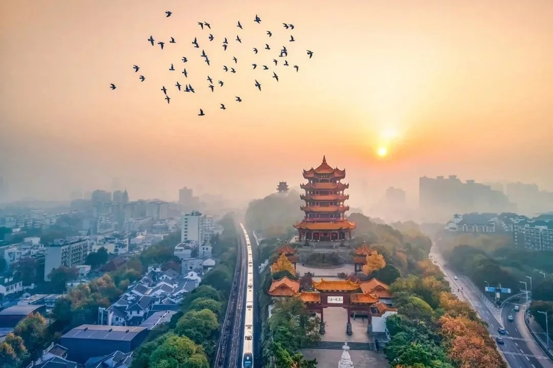
Wuhan lies in China’s heartland, where the Yangtze meets the Han River. Known as the “River City” and a historic crossroads, it combines a strong heritage in surveying and remote sensing with a growing digital and aerospace economy. Digital Earth connects the world just as Wuhan connects regions.
In line with the Sustainable Development Goals of the United Nations 2030 Agenda, we call for action across the following seven areas:
浩瀚宇宙中,蓝色星球绕日运行;地球之上,绚丽缤纷的生命绽放、繁衍。——“我们活,也让子孙活!”
数字地球,既是融合地理信息系统、时空大数据可视化、虚拟现实、云计算与人工智能等技术所构建的“全面感知和理解地球”的平台,也蕴含着人类热爱地球、守护地球、惠及子孙后代的庄严承诺。
武汉位于中国腹地中心,长江与汉江在此交汇。作为“江城”和历史上的“九省通衢”,武汉兼具测绘遥感领域的深厚积淀与不断发展的数字经济、航天产业基础。九省通衢通天下,数字地球连世界。
结合联合国《2030年可持续发展议程》的可持续发展目标(SDGs),我们倡议围绕以下七个方向共同行动:
1. Zero Hunger (SDG 2) — Digital Earth for Agricultural Development1. 零饥饿(SDG 2)——数字地球赋能农业发展
Build agricultural digital twins covering mountains, rivers, forests, farmland, lakes and grasslands; support precision irrigation, fertilization, pest and disease warning and climate-risk management; strengthen food traceability, price-risk monitoring, technology transfer and capacity building so Digital Earth can serve farms at every scale.构建覆盖“山水林田湖草”的农业数字孪生体系,推动精准灌溉、精准施肥、病虫害智能预警与气候风险防控;加强粮食全链条质量追溯、价格风险监测、技术转移与能力建设,让数字地球服务不同规模的农业生产。
2. Water Resources (SDG 6) — Digital Earth for Water Protection2. 水资源(SDG 6)——数字地球赋能水资源保护
Develop basin-scale digital twins integrating satellite, aerial, ground and underwater observations; strengthen real-time monitoring and risk assessment for water changes, pollution, floods, droughts and glacier retreat; use visualization to support precise water management and public awareness.共建流域数字孪生体系,整合卫星遥感、航空摄影、地面传感与水下监测;强化水体变化、水质污染、洪涝干旱、冰川退缩等动态监测与风险评估;以可视化平台支撑精细化用水管理与公众节水意识。
3. Energy (SDG 7) — Digital Earth for the Energy Transition3. 能源(SDG 7)——数字地球赋能能源转型
Advance digital twins and intelligent operations for power grids, oil and gas networks, energy storage and renewable-energy sites; improve coordinated optimization across generation, grids, demand and storage; promote energy-monitoring data sharing, cross-border grid connectivity and green technology transfer.推进电网、油气管网、储能设施与新能源场站的数字孪生和智慧运营,实现源网荷储协同优化;推动全球能源监测数据共享、跨境电网互联与绿色技术转移。
4. Sustainable Cities and Communities (SDG 11) — Digital Earth for Smart Cities4. 可持续城市与社区(SDG 11)——数字地球赋能智慧城市
Use Digital Earth for multi-scenario simulation and carrying-capacity assessment across city regions, metropolitan areas and communities; support balanced spatial planning, urban renewal and ecological protection; promote data interoperability, shared standards and exchange of proven practices.借助数字地球开展城市群、都市圈与社区尺度的多情景模拟与承载力评估,支撑空间规划、城市更新与生态保护的平衡;推动智慧城市数据互通、案例互鉴与标准共建。
5. Climate Action (SDG 13) — Digital Earth for Climate Challenges5. 气候行动(SDG 13)——数字地球应对气候问题
Integrate carbon-monitoring satellites, greenhouse-gas measurements, atmospheric inversion and ground observations; use remote sensing and AI to identify and warn of typhoons, floods, droughts, heatwaves and wildfires; promote open climate data, technology transfer and adaptation cooperation.整合碳卫星、温室气体浓度探测、大气反演与地面观测数据;运用遥感与AI识别和预警台风、洪涝、干旱、热浪与野火等极端事件;推动气候监测数据开放共享、技术转移与适应合作。
6. Marine Environment (SDG 14) — Digital Earth for the Blue Ocean6. 海洋环境(SDG 14)——数字地球保护蓝色海洋
Integrate ocean satellites, Argo floats and deep-sea observations to build a digital foundation from sea surface to seabed; use remote sensing and AI to detect red tides, green tides, sea ice, oil pollution, microplastics and heavy metals; strengthen international cooperation for marine protection.整合海洋卫星、Argo浮标与深海探测信息,构建覆盖海面、水体、海底的数字底座;运用遥感与AI监测赤潮、绿潮、海冰、油污、微塑料与重金属污染;加强国际合作,共同守护海洋。
7. Terrestrial Ecosystems (SDG 15) — Digital Earth for Ecosystem Protection7. 陆地生态(SDG 15)——数字地球关注陆地生态
Use multisource remote sensing and AI to map and assess forests, grasslands, wetlands and deserts; combine acoustic sensing, infrared cameras, species recognition and hyperspectral remote sensing for biodiversity monitoring; share ecological data and cooperate on cross-border ecological corridors and conservation.运用多源遥感与AI对森林、草原、湿地、荒漠等生态系统进行高精度测绘与动态评估;结合声学传感、红外相机、AI物种识别与高光谱遥感开展生物多样性监测;推动生态数据共享、跨境生态廊道共建与保护合作。
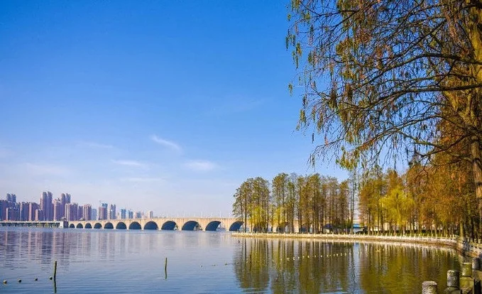
Today, we gather in Wuhan beside the Yangtze River and East Lake. The city’s position at the heart of the Yangtze River Economic Belt and its expertise in surveying, remote sensing and the digital economy provide a natural setting for this dialogue. We will promote wider application of Digital Earth technologies, remote-sensing data sharing, technology transfer and talent development, bringing Wuhan’s experience and solutions into global cooperation.
今天,我们汇聚于长江之畔、东湖之滨——武汉。这座城市依托长江经济带核心区位,以及测绘遥感与数字经济领域的深厚积淀,为这场对话提供了天然场景。我们将推进数字地球技术的广泛应用,推动遥感数据共享、技术转移与人才培养,让武汉经验与武汉方案进入更广泛的国际合作。